Aerial view of Bangladesh river and green landscape
Remote Sensing · GIS · Flood Risk · Bangladesh
Monirul Islam

Monirul Islam

Remote Sensing & GIS Researcher · PhD Aspirant

I combine satellite imagery, machine learning and drone fieldwork to map how environmental hazards reach vulnerable communities in Bangladesh and South Asia. Currently open to funded PhD positions in earth observation, GeoAI and hydrology.

3.84 / 4.00
MSc CGPA
3+ yrs
Research Experience
87 / 120
TOEFL iBT
NST
Govt. Fellow 2024–25
3
Manuscripts in Prep.
What I study

Research Interests

Earth observation, machine learning and field science applied to flood risk, water quality and climate vulnerability in data-scarce regions.

🛰️
Flood Susceptibility Mapping
SAR (Sentinel-1), optical (Sentinel-2), terrain and rainfall using Random Forest and SVM in Google Earth Engine.
🌊
Haor & Wetland Hydrology
Flash flood dynamics, LULC change and disaster risk in Bangladesh's northeastern haor basin.
🤖
GeoAI & Deep Learning
Geospatial machine learning for climate risk modelling and large-scale environmental monitoring.
🚁
UAV Photogrammetry
Low-altitude drone mapping for informal settlements, agriculture and disaster response.
🌿
Water Quality Monitoring
Satellite-based eutrophication and organic pollution tracking in peri-urban river systems.
📡
Low-Cost Environmental Sensing
IoT weather stations and Arduino sensors to fill microclimate data gaps in underserved communities.
River running through green countryside
"Mapping risk where data runs out."
Field & research work

Featured Projects

From Dhaka rooftop weather stations to satellite river monitoring — a sample of current and recent work.

🦟
UAVOSMWellcome Trust
Dhaka Dengue Mapping — Climate & Vector Risk in Informal Settlements
Drone photogrammetry over Korail and Wari Rabidas Para, two IoT weather stations, community OSM mapping and a 30-delegate stakeholder workshop for DNCC and DSCC health authorities.
GroupMappers Bangladesh & HOT · Jun 2026 – Present
🗺️
Sentinel-1/2GEEMSc Thesis A+
Flood Susceptibility in Sylhet Division Using ML & Remote Sensing
Compared Random Forest and SVM on SAR, DEM, rainfall and LULC inputs to produce validated flood maps for one of Bangladesh's most flood-prone divisions.
IRSGIS, Jahangirnagar University · 2024–2025
🏭
Sentinel-2GEECERS
Buriganga River — Eutrophication & Pollution Monitoring
Spatio-temporal assessment of organic pollution using Sentinel-2 spectral indices and GEE time-series analysis of Dhaka's most pressured urban river. Manuscript in preparation.
CERS · 2025–2026
🌾
UAVQGISBLRI
UAV Fodder Survey — Bogura Agricultural Upazila Mapping
Multi-upazila UAV data collection for grass and fodder identification across 4–5 upazilas in Bogura, coordinated with the Bangladesh Livestock Research Institute.
GMGI Solutions Ltd. · Oct 2026
🏛️
GIS Web MapSpatial History
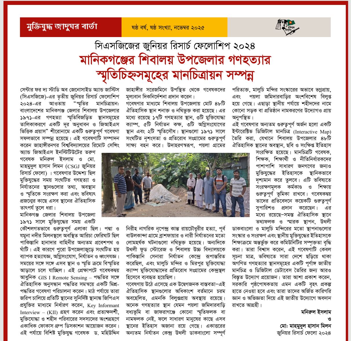
Genocide Memorial Site Mapping — Bangladesh 1971
Documented 50+ memorial sites across 7 union parishads; built an interactive GIS web map with satellite imagery, archival records and multimedia at the Liberation War Museum.
CSGJ, Liberation War Museum · May–Nov 2024
🌿
CERSBibliometricsSpatial Analysis
Research Deserts — Pharmacological Evidence Gaps in Bangladeshi Medicinal Plants
Spatial audit identifying which plant species and regions are under-researched, combining georeferenced occurrence data with bibliometric coverage analysis.
CERS · 2025–2026
Field work & life events

Events & Field Work

Training, fieldwork and research events — click any photo to view it full size.
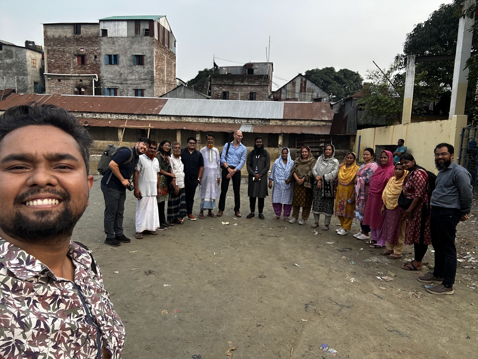
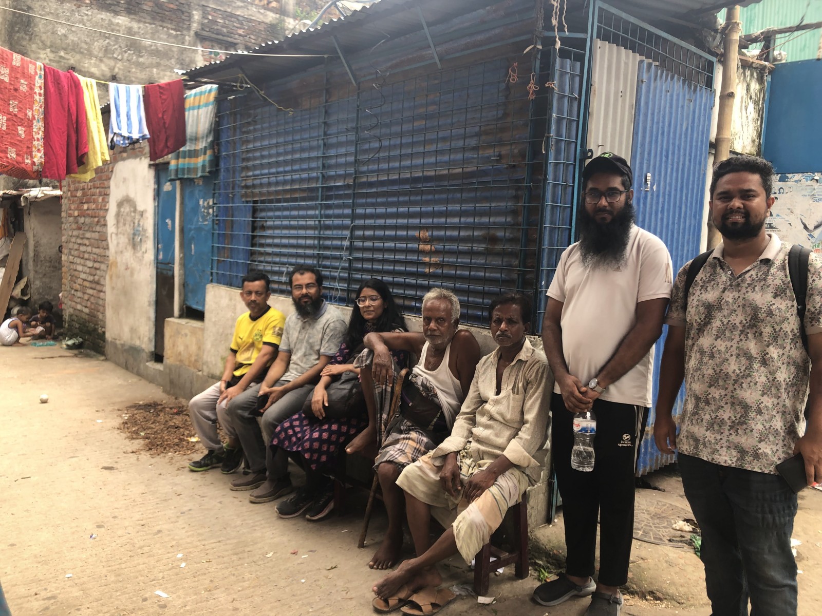
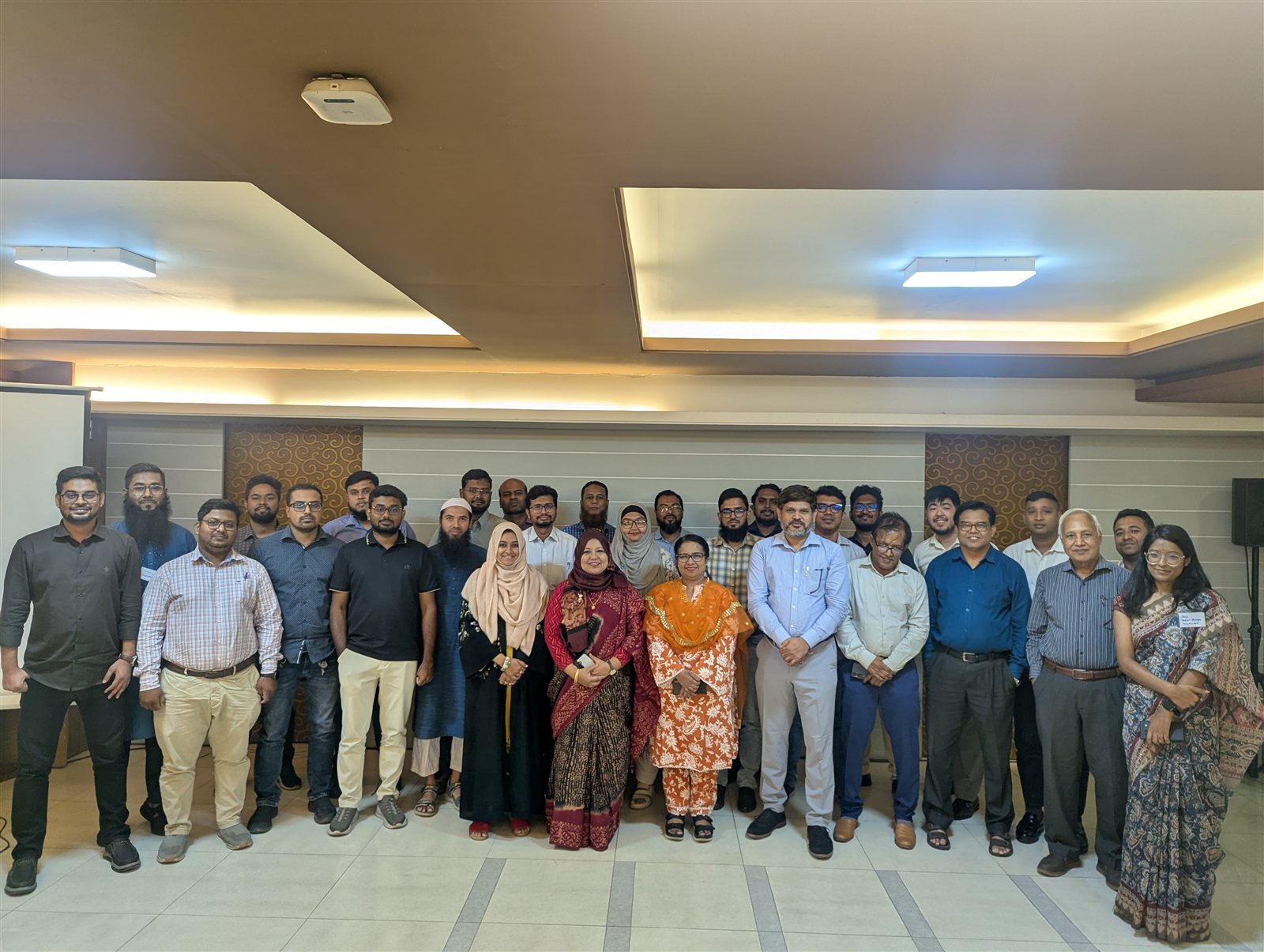
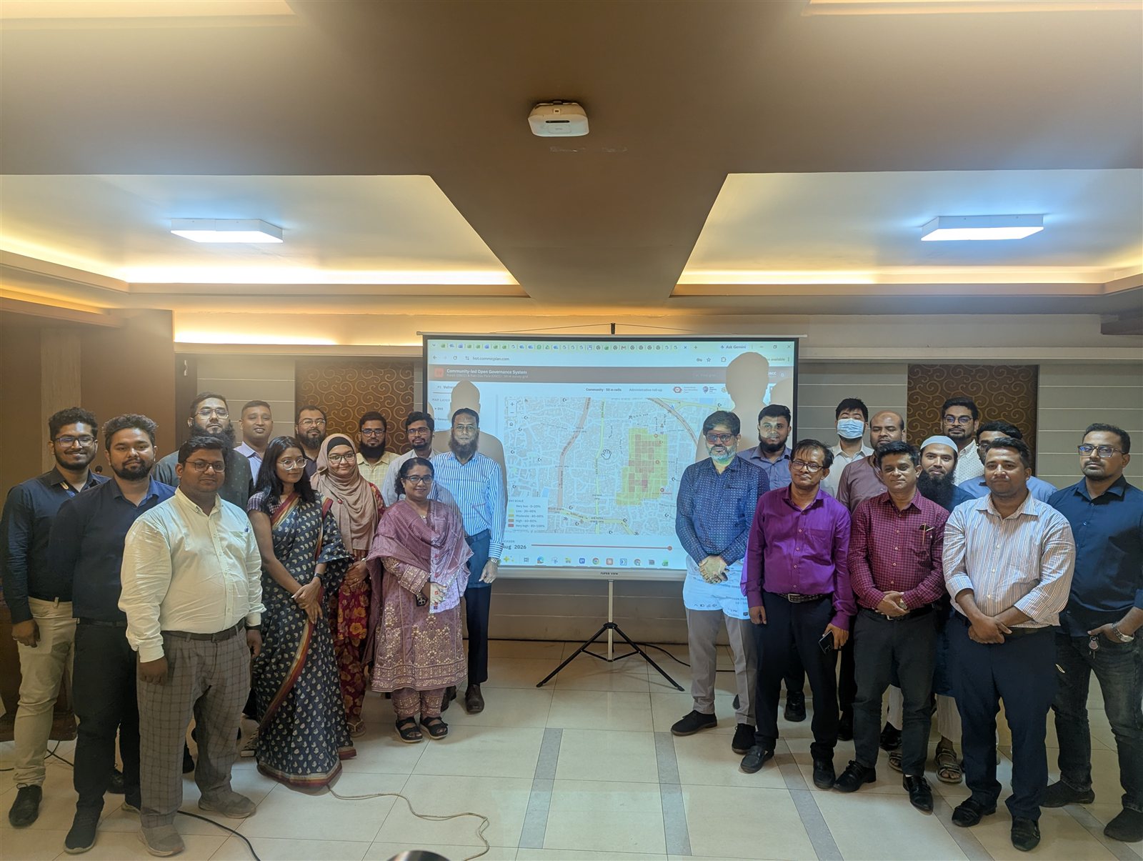
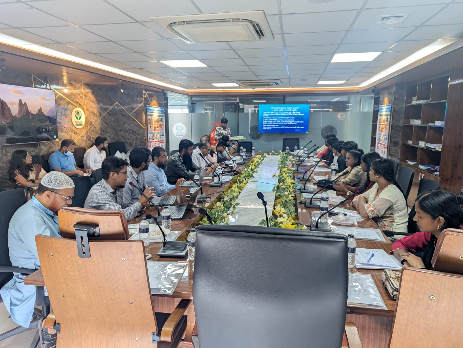
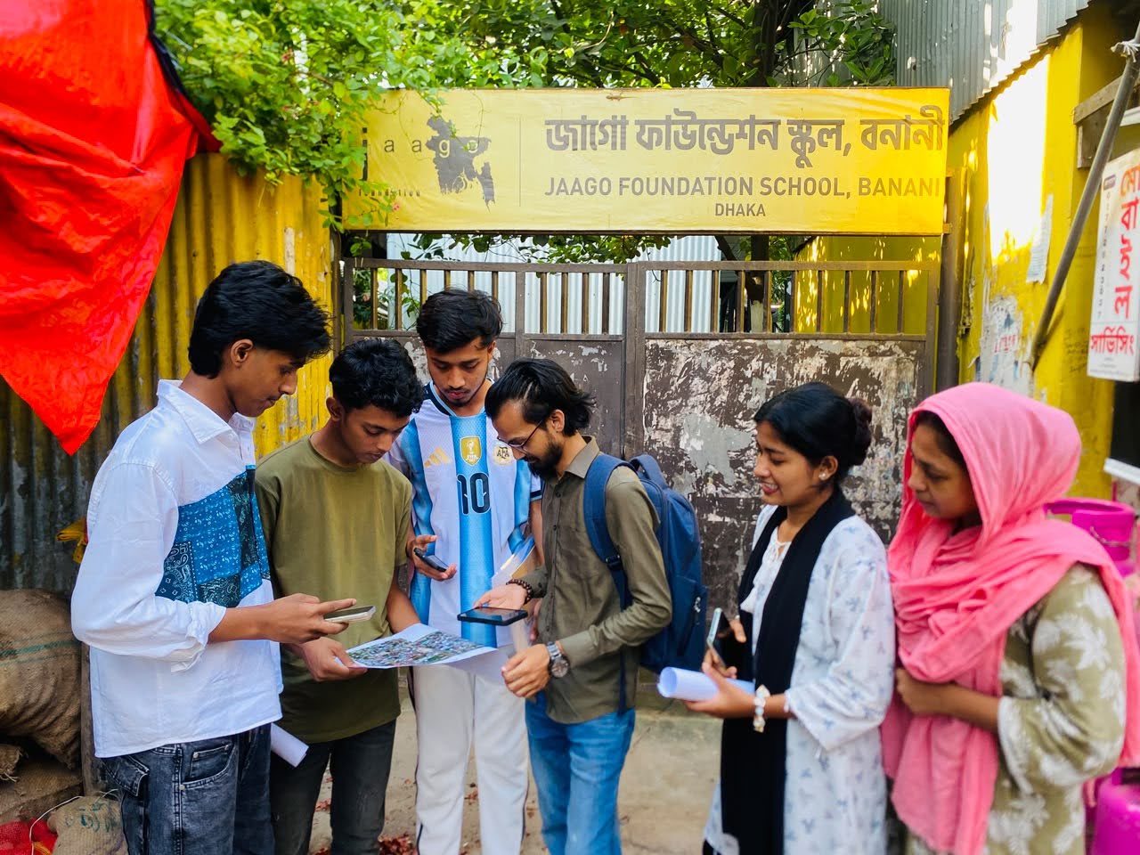
Dhaka Dengue Mapping — Korail & Wari (HOT) GroupMappers Bangladesh & HOT · Jun 2026 – Present
UAVOSMWellcome Trust
Field site selection visits to Korail (DNCC) and Wari Rabidas Para (DSCC), community OSM mapping, entomological survey training and a stakeholder workshop for DNCC and DSCC health authorities, as part of the Wellcome Trust-funded Dhaka Dengue Mapping project with the Humanitarian OpenStreetMap Team.
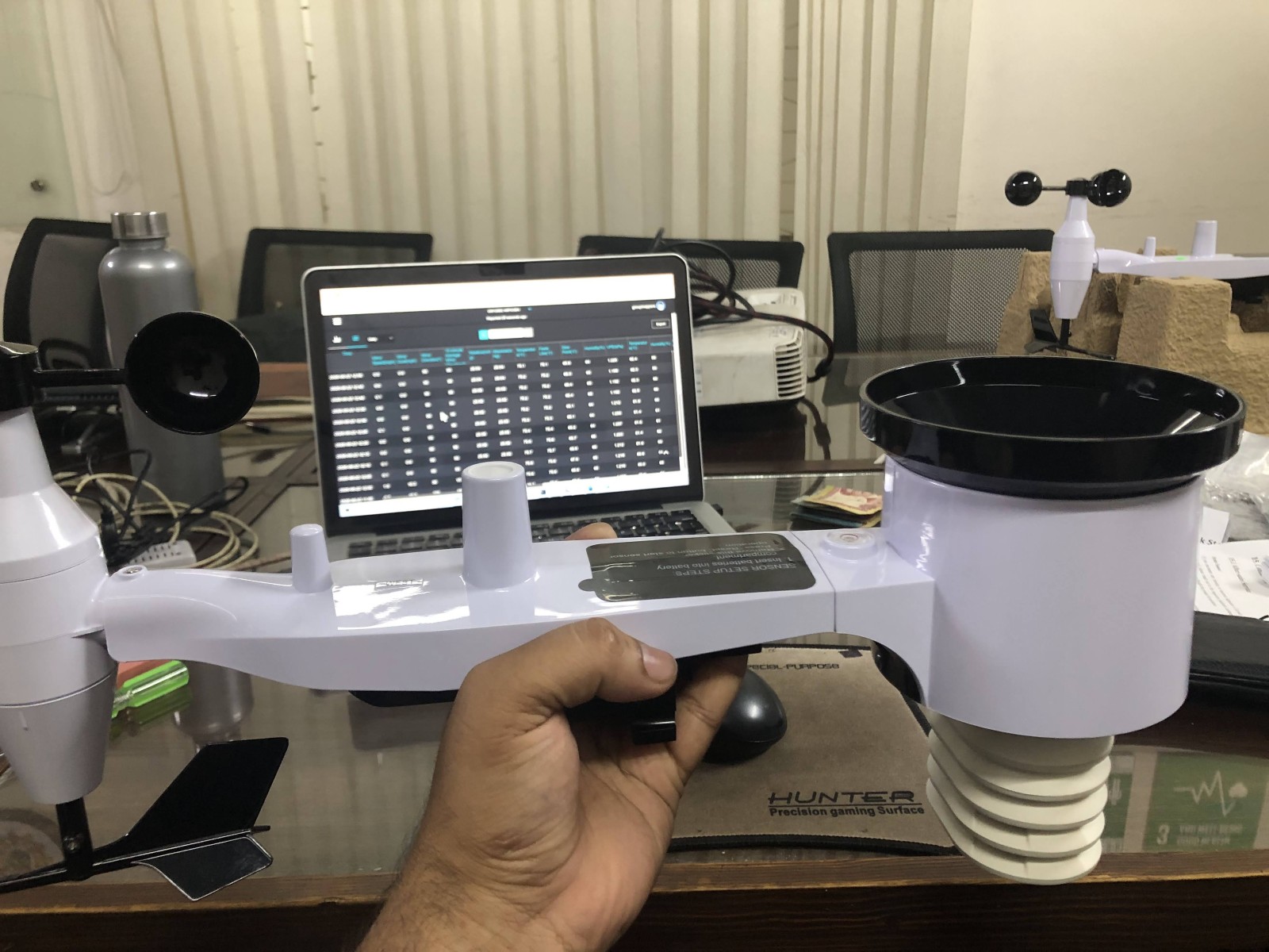
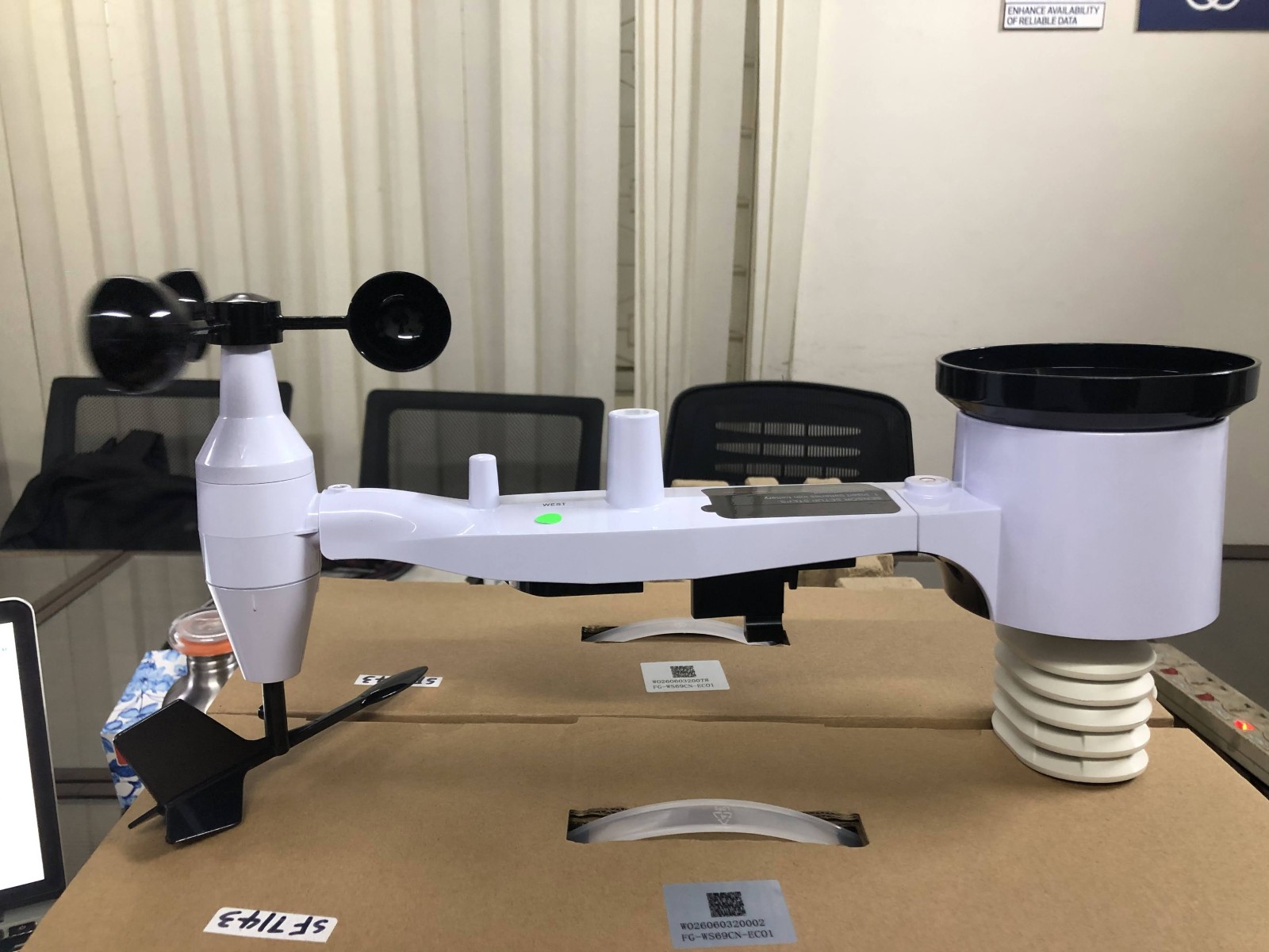
IoT Weather Station Installation Dhaka Dengue Mapping · 2026
IoTMicroclimate
Deployment of two IoT weather stations for microclimate monitoring in the study areas, including site selection, hardware installation and setup of remote data retrieval.
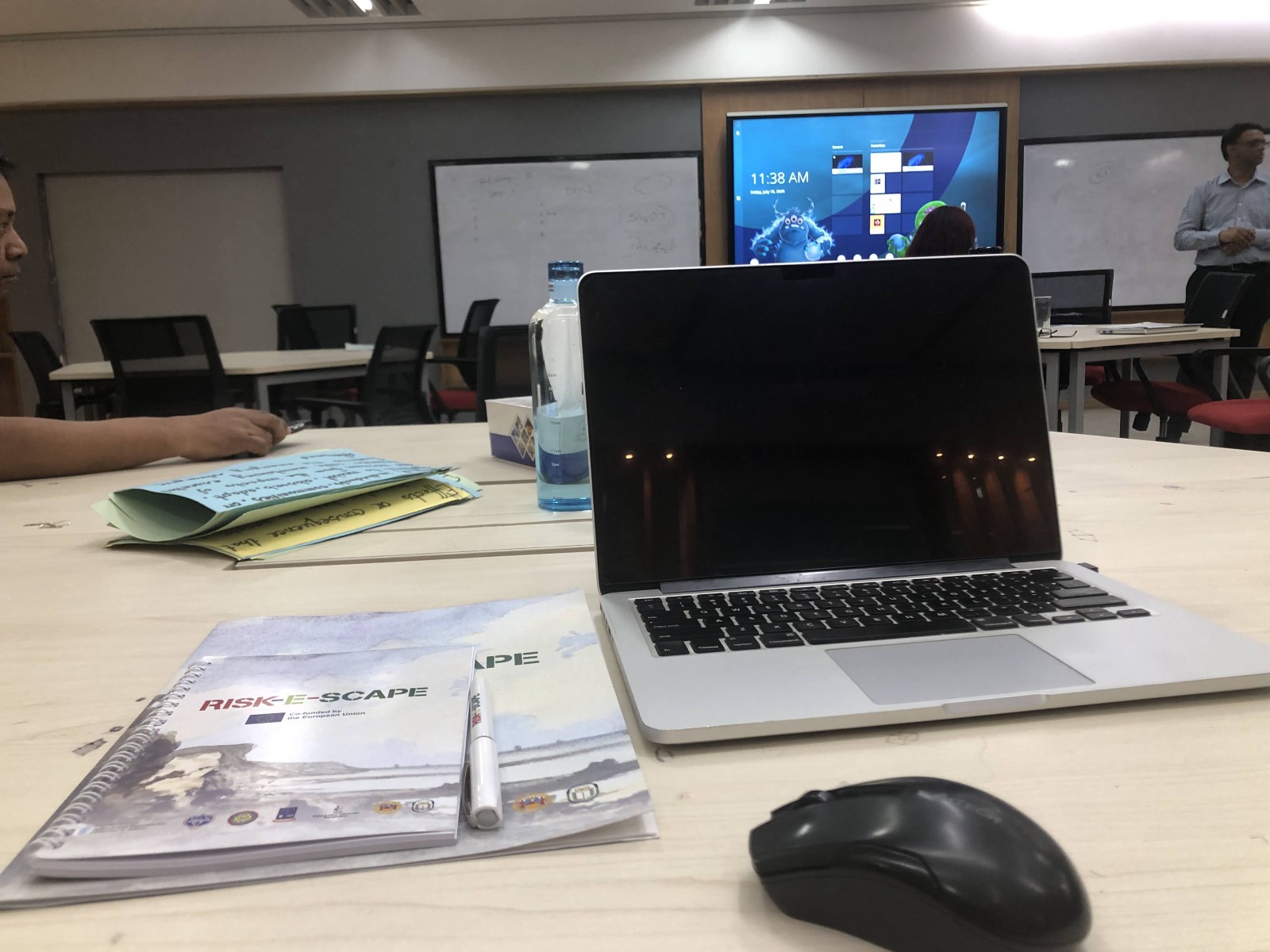
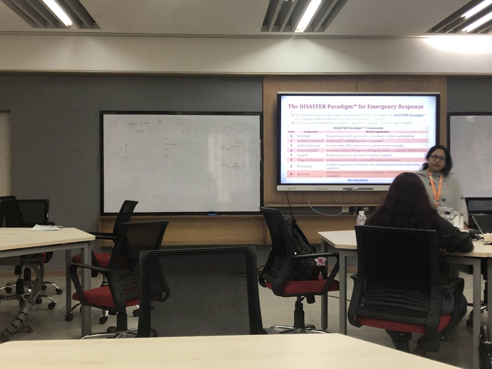
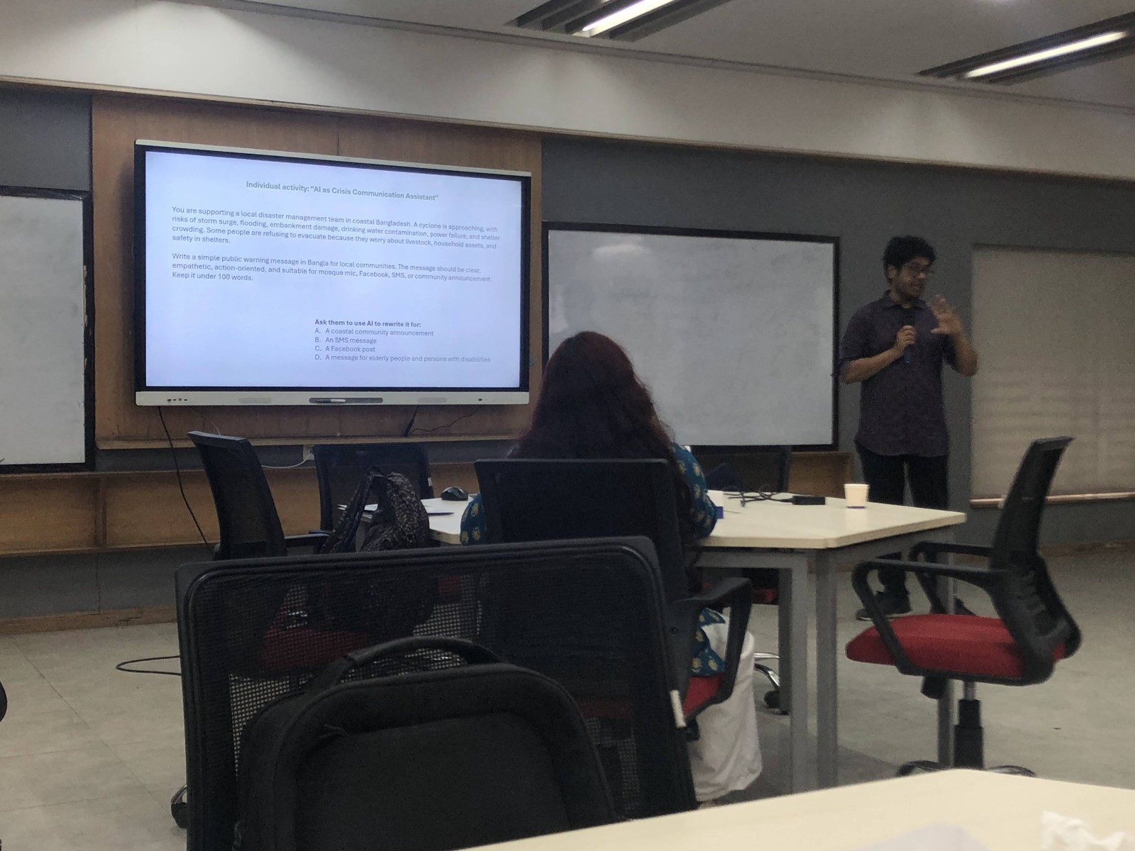
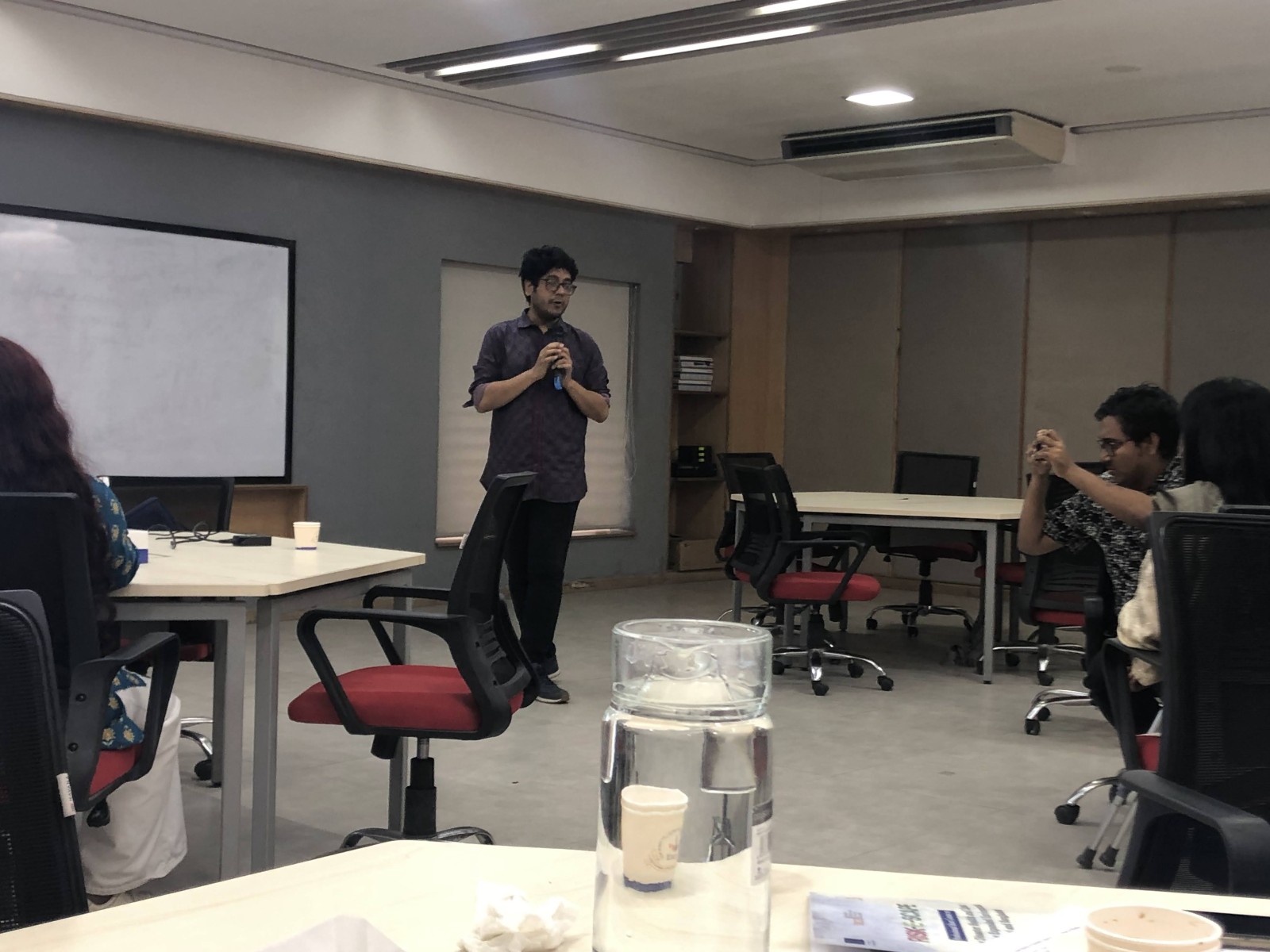
RISK-E-SCAPE — Disaster Health & Climate Resilience Short Course Independent University Bangladesh (IUB) · 2025
EU FundedDisaster HealthIUB
Professional short course on improving disaster health and climate resilience across the environmental crisis in Nepal and Bangladesh. Organized by the Department of Environmental Science & Management and OECE at IUB, co-funded by the European Union. Covered humanitarian medicine, community engagement and disaster response strategies.
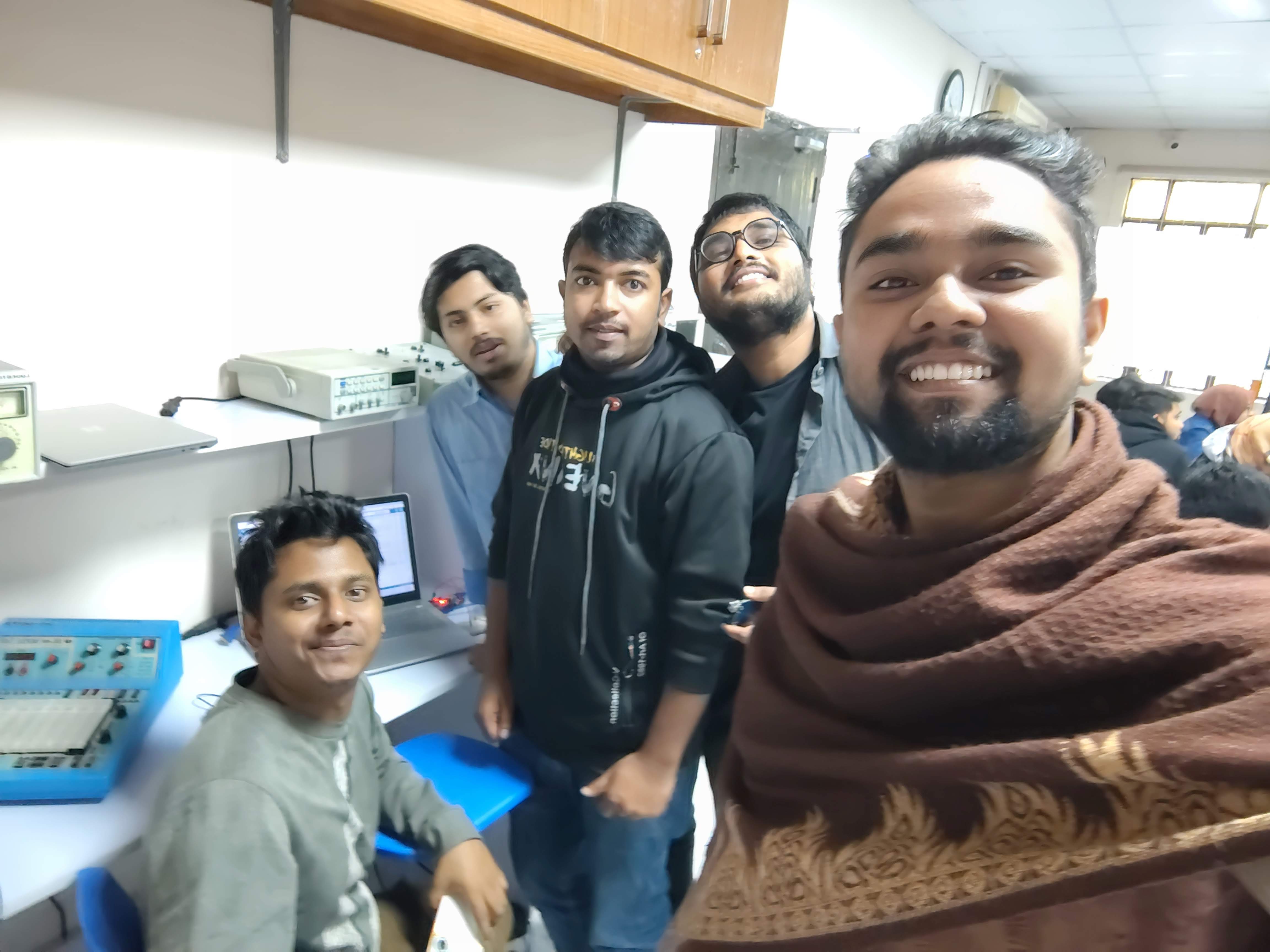
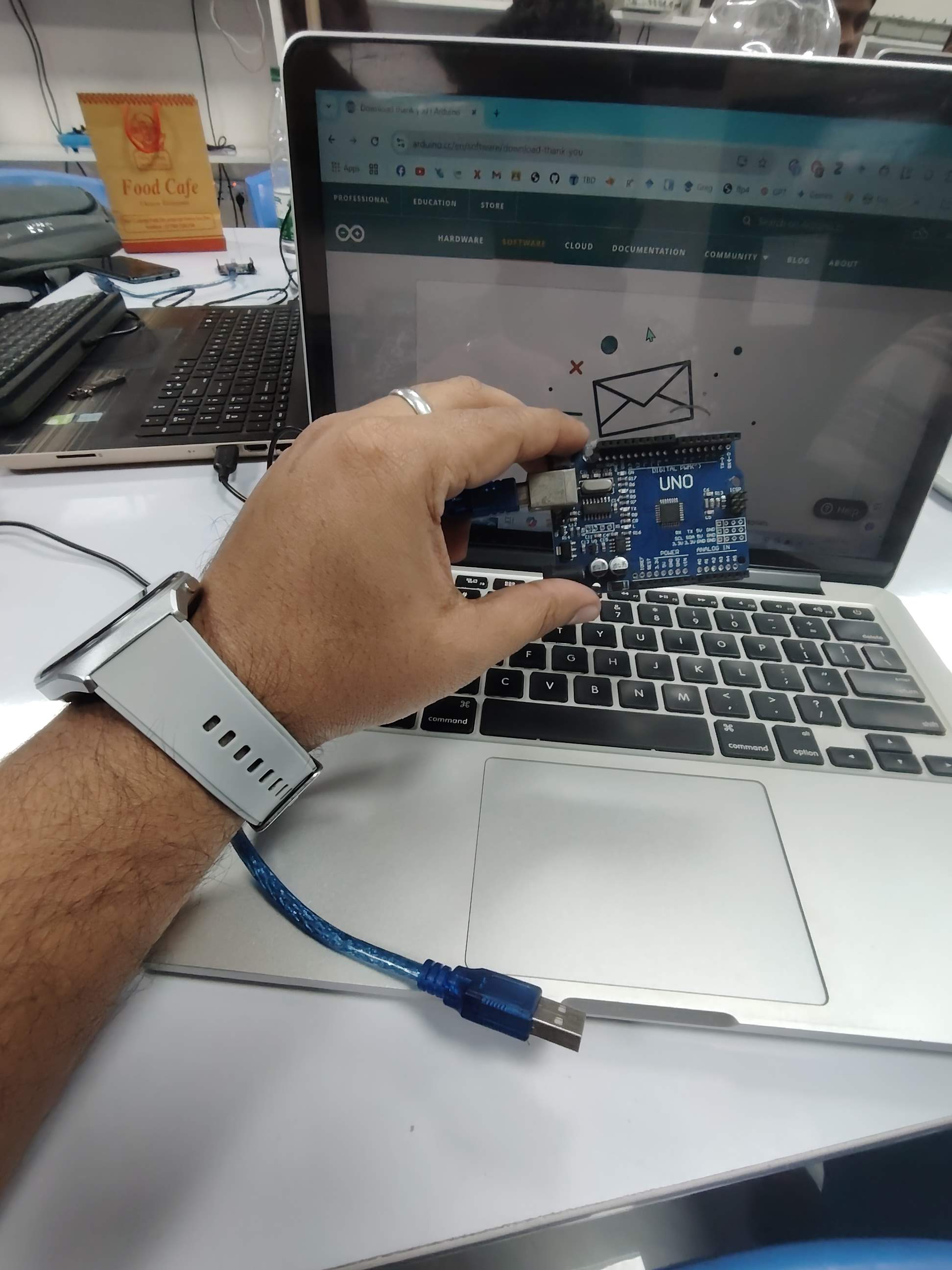
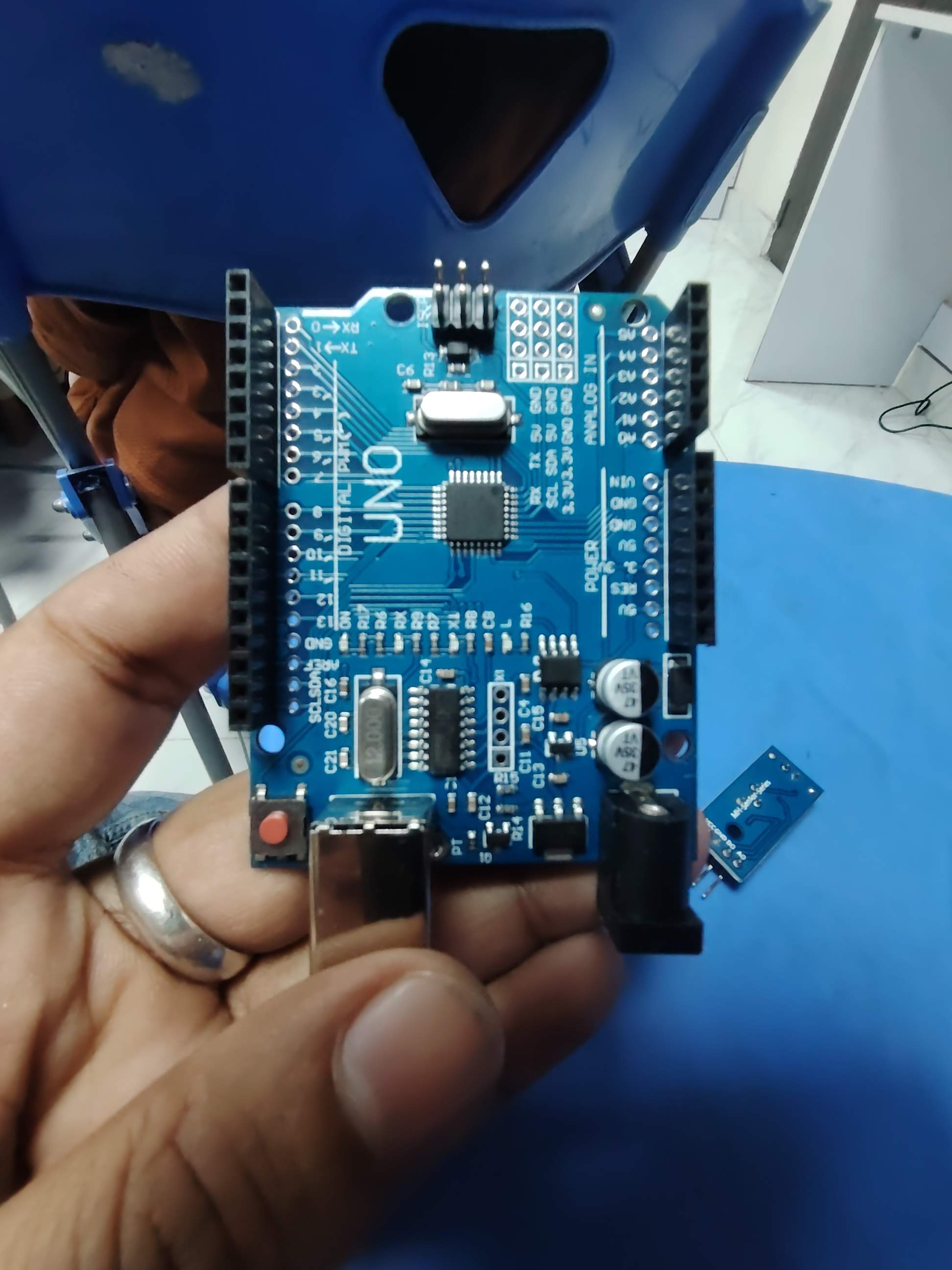
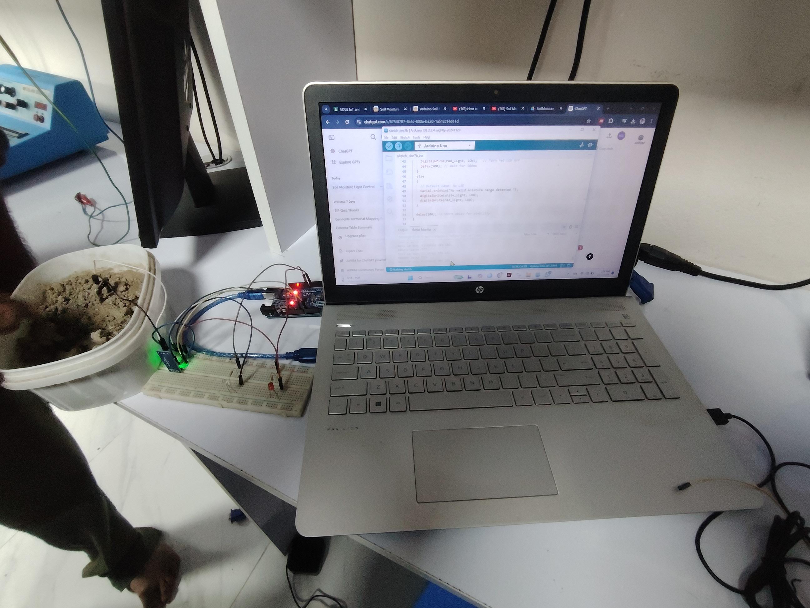
IoT Training — IIT Jahangirnagar University Institute of IT, Jahangirnagar University (EDGE Project) · 2024
IoTEmbedded Systems80 hrs
80-hour IoT training under the EDGE Project at the Institute of Information Technology, Jahangirnagar University — sensors, microcontrollers and embedded systems applied to environmental monitoring.
Genocide Memorial Site Mapping — CSGJ Center for the Study of Genocide & Justice, Liberation War Museum · May–Nov 2024
GISSpatial History
Junior Research Fellow documenting 1971 Liberation War genocide memorial sites using remote sensing and GIS. Baseline field surveys to catalog and map memorial sites, including work in Shibalaya Upazila, Manikganj.
Background

Experience & Education

Research, field deployment and consulting across academia and applied geospatial work in Bangladesh.

Jun 2026 – Present
Field Project Assistant — Dhaka Dengue Mapping Project
GroupMappers Bangladesh & HOT (Wellcome Trust) · Dhaka
UAV flights, two Ecowitt IoT weather stations, community OSM training, 30-delegate workshop with DNCC, DSCC, BRAC, icddr,b, CDC, NMEP and IEDCR.
Sept 2025 – Present
Research Assistant
GMGI Solutions Ltd. · Dhaka
6+ technical proposals for government and international agencies; satellite time-series of Manikganj river shifting; Bogura UAV surveys; Python geospatial backend development.
Aug 2025 – Present
Founder & Researcher
Center for Environmental Research & Sustainability (CERS) · Bangladesh
Independent research on environmental GIS — industrial risk, river water quality and medicinal plant spatial bias. Three manuscripts in preparation.
Aug 2023 – Sept 2025
MSc in Remote Sensing & GIS — CGPA 3.84 / 4.00
Institute of Remote Sensing & GIS, Jahangirnagar University
Thesis (grade A+): flood susceptibility mapping in Sylhet Division using Random Forest and SVM on Sentinel-1/2. NST Fellow 2024–25.
May – Nov 2024
Junior Research Fellow
CSGJ, Liberation War Museum · Dhaka
GIS web mapping of 50+ genocide memorial sites; field surveys across 7 union parishads (15 h/week).
2015 – 2018
BSS (Hons) in Disaster & Human Security Management — CGPA 3.46 / 4.00
Bangladesh University of Professionals (BUP)
Coursework in GIS, hydrology, floodplain management and public health epidemiology.
Academic outputs

Publications

One peer-reviewed article, one conference paper and three manuscripts in preparation.

J1
Journal Article · 2025
A comprehensive assessment of university transport services at PUST
Sultana, S., Das, T., Limon, M. M. H., Islam, M., & Rahman, M. M. (2025). American Journal of Traffic and Transportation Engineering, 10(2), 48–61.
C1
Conference Paper
Identifying Exercises and Gaps in Flash Flood Management at Haor Areas of Bangladesh: A Study of Sunamganj District
Islam, M. 1st International Conference on Sustainable Development, University of Rajshahi.
P1
Manuscript in Preparation
Spatio-Temporal Assessment of Organic Pollution and Eutrophication Dynamics in the Buriganga River Using Sentinel-2 and Google Earth Engine
Islam, M., et al.
P2
Manuscript in Preparation
Spatial Audit and Hydrological Modelling of Industrial Rainwater Harvesting Potential: Konabari Industrial Cluster, Bangladesh
Islam, M., et al.
P3
Manuscript in Preparation
Mapping the Research Deserts: A Spatial Analysis of Pharmacological Evidence for Medicinal Plants in Bangladesh
Islam, M., Sultana, S., et al.
Tools & methods

Technical Skills

Built through thesis research and active field deployment — not just listed, but used.

Earth Observation
Google Earth EngineSentinel-1 SARSentinel-2ERDAS ImagineLULC classificationTime-series
GIS Platforms
ArcGISQGISLeafletGeoPandasRasterioMapillary
Programming
PythonJavaScript (GEE)Pandas / NumPyScikit-learnMatplotlibGitHub
Machine Learning
Random ForestSVMFlood susceptibilitySpatial validation
UAV & Field
Drone mission planningPhotogrammetryQFieldCAAB permittingOSM mapping
IoT & Sensors
Ecowitt GW1201Arduino sensorsIoT API retrievalMicroclimate SOP
Recognition

Awards & Certifications

🏅
NST Fellowship 2024–25
Ministry of Science & Technology, Government of Bangladesh.
📝
TOEFL iBT 87 / 120
B2 (CEFR) · R20 L23 S23 W21 · December 2025.
🗺️
HOT Technical Training
Humanitarian OpenStreetMap Team, June 2026.
⚡
IoT Training — 80 hrs
IIT Jahangirnagar University, EDGE Project.

Let's work together.

I am actively seeking funded PhD positions in remote sensing, GeoAI, hydrology and environmental monitoring. Open to research collaborations and grant partnerships.

✉ monirtitas@gmail.com monir@cersbd.org LinkedIn GitHub cersbd.org